Mexico City: High resolution elevation render with x4 vertical exaggeration
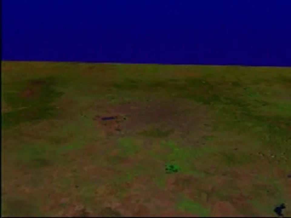
Note: A flyby of Mexico city from Landsat imagery draped over elevation data, where the elevation data exaggeration grows to a factor of 4. Animator: Jesse Allen (Raytheon). Scientist: Darrel Williams (NASA/GSFC). Platforms/Sensors/Data Sets: Landsat-5/TM. Public domain (curated collection) Creat...