GOES-10 Imagery of Hurricane Katrina: Full Disk Longwave Infrared (WMS)
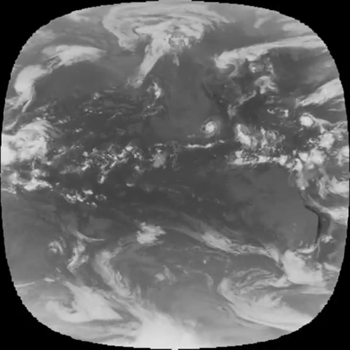
The GOES-10 satellite sits at 135 degrees west longitude at an altitude of 36,000 kilometers over the equator, in geosynchronous orbit. At this position its Imager instrument takes pictures of cloud patterns in several wavelengths for the Pacific Ocean, a primary measurement used in weather forec...